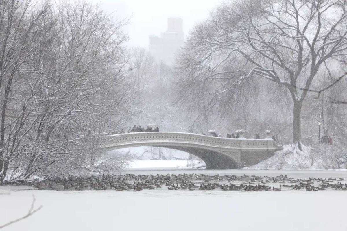
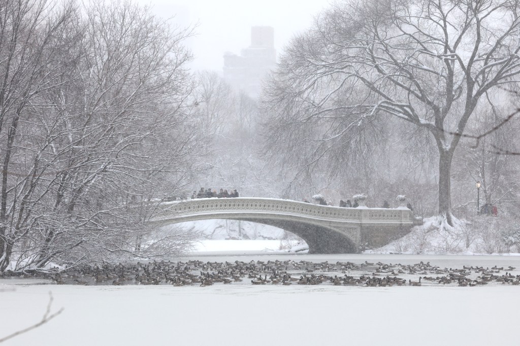
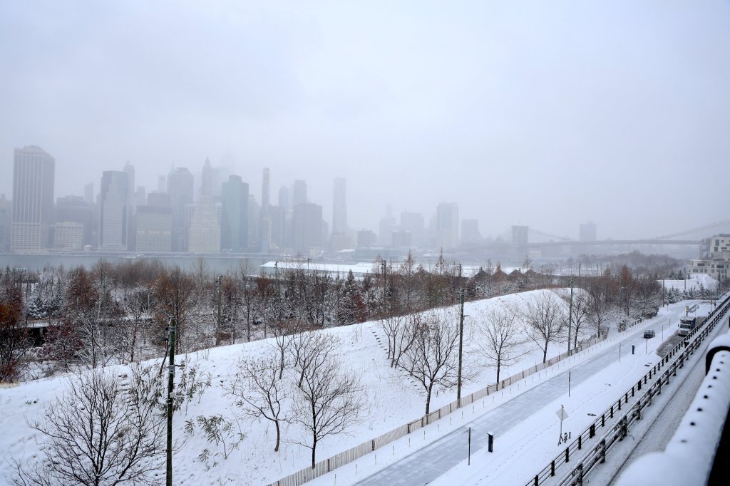
The Big Apple woke up to arctic-like temperatures Saturday as Winter Storm Fern began its creep across the nation.
Temperatures hovered around 9 and 10 degrees in Central Park on Saturday — but whipping winds are making it feel much lower.
“At this point, real feel should be at the coldest for the day. They’re currently around negative 8, negative nine,” Accuweather meteorologist Alyssa Glenny told The Post at 8 a.m. Saturday.
Winds will be sustained between 7 and 14 mph, though a few gusts can get up to 20 mph, Glenny said.
As the day progresses and temperatures slightly warm up, the real feel will also rise to the single digits.
The high for Saturday was expected to reach 19 degrees, though clouds are forecasted to roll through the Big Apple in anticipation of a monster snow dumping.
The flurries could start dropping as soon as 3 a.m. and continue through Sunday before tapering off midday Monday.
The snowfall could be mixed with sleet, which could affect whether the Big Apple will get the anticipated 1-foot dumping officials are warning about.
“A total for New York City for our forecast is 4 to 8 inches, but if we see more snow rather than a mixed sleet, there’s a chance that that could approach a foot of snow,” explained Glenny.
National Weather Service, however, projects that as many as 14 inches will blanket the metro area.
Gov. Kathy Hochul declared a state of emergency on Friday ahead of the major snowstorm.
The city has been preparing for the winter storm, with the Department of Sanitation pre-treating the streets starting on Friday.
Mayor Mamdani also activated a Code Blue warning, which is issued ahead of freezing temperatures and loosens homeless shelters’ capacity restrictions to ensure no one is left on the streets overnight.
If the Big Apple gets at least a foot of snow, it would be the most in the city since February 2021, when 16.8 inches fell in Central Park.